GIS / Mapping
The Geographic Information Systems (GIS) Office offers spatial data services through an array of systems, providing access to a wide variety of geographically referenced information.
The Office's purpose is to define, design and deliver an organized, shared geospatial-centric information infrastructure that enables our county to manage data and resources using a cost effective county wide enterprise approach.
GIS staff is housed under Public Works, but services the whole county.
Interactive Maps
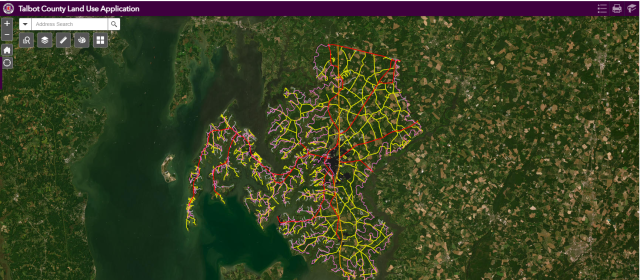
View current interactive maps online.
For troubleshooting, please contact byelton@talbotcountymd.gov
View MapsPage last modified Tuesday, June 11, 2024 12:25:50 PM